How it works
How a drone flight becomes wildfire evidence
The whole system, at the level of detail a fire chief, a councillor or a journalist needs — and the authority boundary restated at every step where it matters.
- Where to look. The platform ranks places by how much an observation would actually settle — how likely an ignition is, how uncertain the current picture is, what is downwind, and how long it has been since anything looked.
- A person decides. The ranking is a suggestion put in front of a named human. It is never an instruction to an aircraft, and there is no configuration of this system in which it becomes one.
- The agency's aircraft flies. Under the agency's own pilots, procedures and aviation approvals, using whatever drone they already operate.
- What came back. Imagery arrives with the record of how it was captured — where, when, by what sensor, in what coordinate system, calibrated or not. Anything that cannot say is held back rather than counted.
- What we now know. The new evidence is weighed against satellite, lightning and ground observations, and the ranking in step one changes. The loop tightens.
Step 1 · Deciding where a flight is worth it
This is the hard part, and it is the part most drone software skips. A drone has perhaps forty minutes of endurance and can look closely at a small area. Choosing which small area is a question about uncertainty, not about where the fire is: there is little point flying somewhere the answer is already known.
The ranking combines five things that are each measurable:
- how likely an ignition is there, given fuel, weather and cause;
- how uncertain the current picture is — a detection with one weak source behind it is worth more attention than one with four;
- what is downwind: a cell above a community, a water intake or a transmission corridor is not the same as a cell above bare rock;
- how long it has been since anything looked at all; and
- whether anything could have looked — a satellite pass under heavy cloud is not an observation, and treating it as one is how a system talks itself into false confidence.
The last of those is the one we care most about getting right. "We saw nothing" and "we could not see" are different statements, and a system that conflates them will eventually reassure someone about a place it never observed.
Step 2 · A person decides
The ranking is a suggestion, not an instruction. It is presented to a named human who decides whether to fly. There is no setting, no permission, no role and no future release in which this platform issues an aircraft command. The interface has no method for it — not disabled, absent.
Aviation authority belongs to the agency operating the aircraft and to the applicable regulator: Transport Canada under CARs 601.15–601.17 in Canada, the FAA in the United States. Nothing built here substitutes for an authorization, and no output of this platform should ever be read as one.
Step 3 · The flight
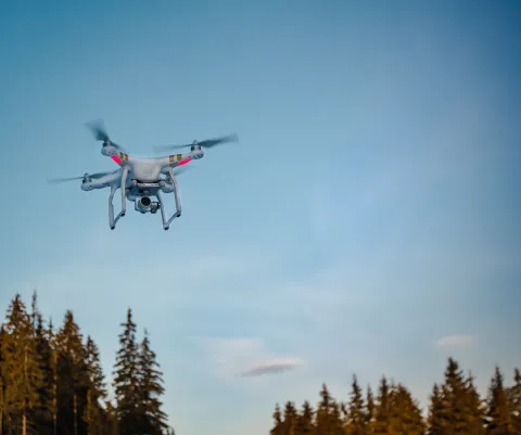
Flown by the agency's own pilots under their own procedures, using the drones they already own. What we contribute is a route and mission proposal in a form their aircraft understands, and the checks that run before it: route geometry, schedule, altitude envelope, weather, airspace restriction, battery reserve and operator approval, each assessed separately so a failure names its own reason.
The most permissive answer those checks can produce is "ready for a human to release". There is no "cleared to fly" state, because that is not ours to give.
Step 4 · What came back, and what it is worth
A photograph on its own is not evidence. What makes it evidence is the record travelling with it: where the aircraft was and how accurately it knew that, when each frame was taken and against which clock, which sensor and configuration produced it, in which coordinate system and vertical datum, and — for thermal imagery — whether the sensor was calibrated and against what.
Anything that cannot state those things is quarantined rather than scored. An uncalibrated thermal product looks exactly like a calibrated one on a screen, and a temperature read off the first is a number with no meaning. Refusing it is not caution; it is the difference between a measurement and a picture.
Step 5 · What changes as a result
New observations are weighed alongside satellite detections, lightning strike data and ground reports. Agreement between sources that share a failure mode is worth less than agreement between sources that do not — two satellites fooled by the same industrial heat source are not two pieces of evidence. Confidence moves, the ranking in step one changes, and the next decision starts from a better picture.
What is not built yet
Two connections in the diagram above are dashed. The route from the ranking into a mission proposal, and the return path that turns captured imagery back into platform evidence, are specified and reviewed but not implemented. Today the drone subsystem and the wider platform are two working systems that do not yet talk to each other.