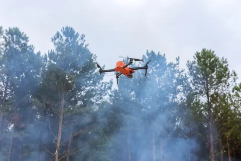
Satellites
Pass overhead a few times a day and see a wide area at once. A small fire between passes is invisible, and cloud or thick smoke can hide one that is directly beneath.
Wildfire Ahead · Drone Operations
The hard part is knowing which hour, and where to look. This is the part of Wildfire Ahead that turns a drone flight into evidence a fire agency can act on — and keeps the decision to fly firmly in human hands.
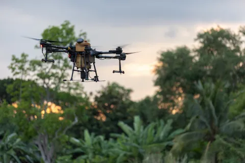
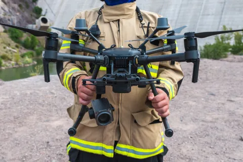
Licensed stock photography. Not Wildfire Ahead equipment or operations.
The problem
No single way of looking is enough on its own. Understanding why is the whole reason this subsystem exists.
Pass overhead a few times a day and see a wide area at once. A small fire between passes is invisible, and cloud or thick smoke can hide one that is directly beneath.
Watch continuously, but only the arc they point at. Beyond the ridge in front of them, they see nothing at all.
See the most and are the most trusted — and there are never enough of them, least of all on the days when everything is burning at once.
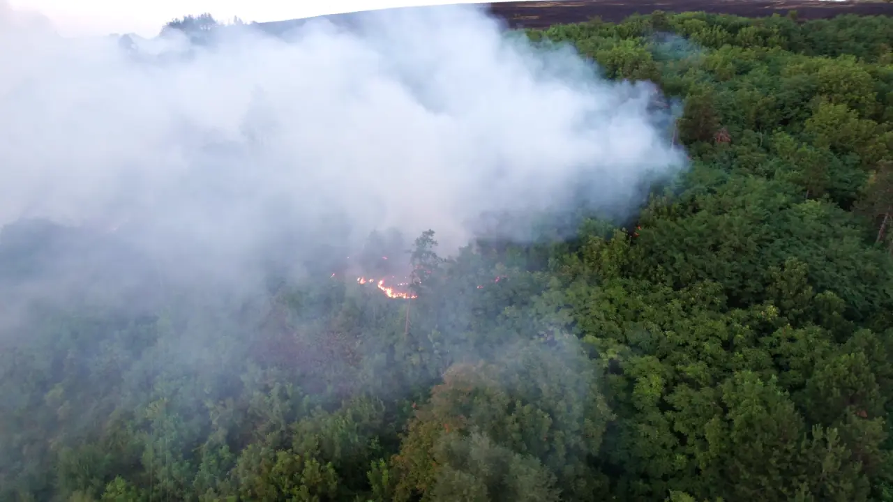
An aircraft can answer one question, at one place, at one time. The intelligence is knowing which question is worth the flight.
Licensed stock footage of a real wildfire. It was not detected, predicted or responded to by this platform.
What actually happens
This is the entire system in one picture. Read it once and you know what we do — including the two connections we have designed but have not finished building.
Where to look
"We saw nothing" and "we could not see" are different statements. A system that confuses them will eventually reassure someone about a place it never observed — so the map of what has been observed is kept separately from the map of what was found.
Your fleet, not ours
Agencies already own aircraft, and rarely all of one make. A provincial fire service, a utility and a county emergency office will each have bought differently, for good reasons, years apart. Most software makes you pick a side. We built the layer underneath instead, so the fleet stays your decision — including the decision to change your mind later.
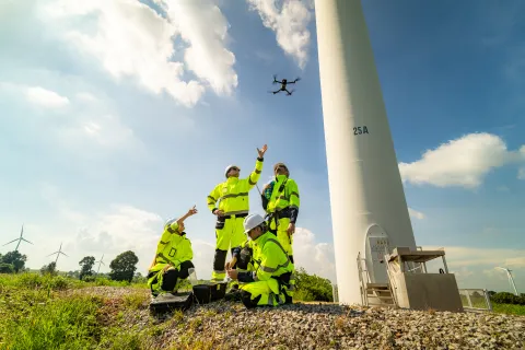
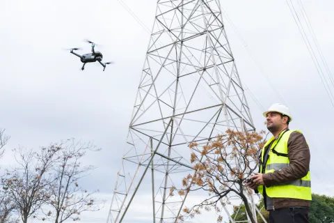
These aircraft already fly over the same country every week. A utility inspecting a transmission line in August is flying through the same landscape a fire agency is worried about — and the picture it brings back is the same kind of evidence. One interface is what makes that possible rather than merely imaginable.
Discover a fleet, read what each aircraft can do, submit a route, follow a mission. Every method either reads state or makes a proposal — there is no method that commands an aircraft, and that absence is the design, not an oversight.
Turns whatever came back into one record: where and when it was taken, by what sensor, at what accuracy, in which coordinate system, calibrated or not. A thermal image that cannot state its calibration is held back rather than scored.
A versioned statement of what an airframe and payload combination can genuinely do, so nothing plans a mission an aircraft cannot fly. Two profiles exist today, for the hardware we have modelled.
What is actually built
Wildfire software is easy to demonstrate and hard to trust. So here is the inventory, with the stage of each item stated plainly. Nothing below is a plan; every line is code that runs today.
Uploaded route files are checked against archive, size, structure, namespace and coordinate rules before anything reads them. A malformed or hostile file is rejected with the reason.
A complete stand-in for the drone dock and aircraft, exact enough to develop and test against without an aircraft in the air. Every run is deterministic and replayable, so a defect found once can be reproduced exactly.
Route, schedule, altitude, weather, restriction, battery reserve and operator approval are each checked separately. The most permissive answer the system can give is ready for a human to release — never "cleared to fly".
Every assessment can be replayed later to show whether an input or a policy changed since. An answer you cannot re-derive is not evidence, and after an incident that difference is the only thing that matters.
Ranked places to look flow out; captured observations flow back. Evidence in both directions, authority in neither. Specified, reviewed, and not yet built.
Requires authorizations from Transport Canada or the FAA and from the agency running the incident. No software here substitutes for one, and no future release will.
Take part
Access grants a view of a synthetic development environment. It is not an aviation approval and confers no authority to operate an aircraft.